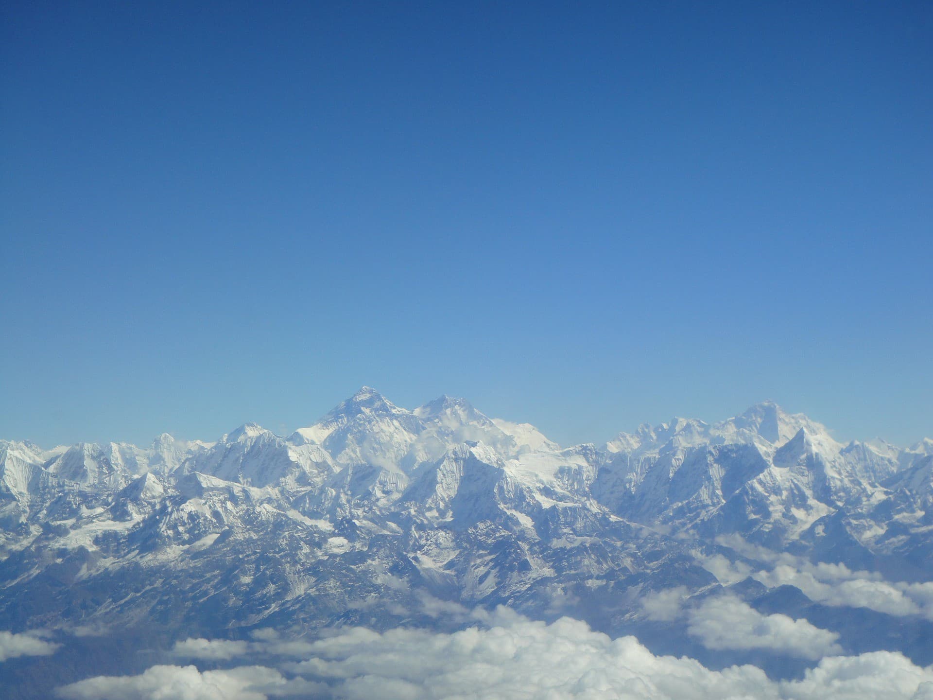
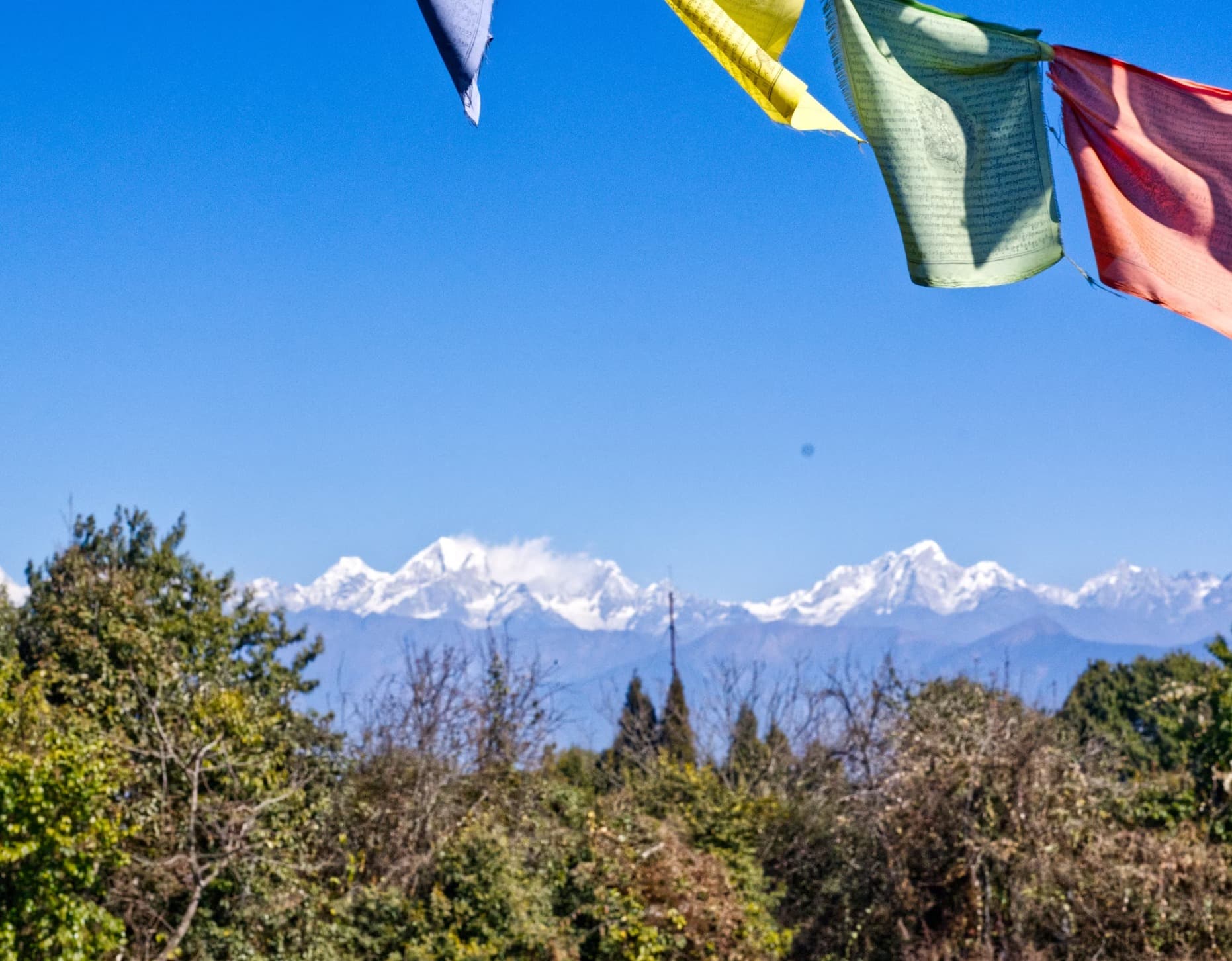
With the presence of the ever prominent Himalayas in the country, Nepal also has the formation and flow of many glaciers. Known as the largest Himalayan state in Asia, Nepal holds eight of the world’s ten tallest mountains in its northern region, including the world’s tallest mountain- Mount Everest. Prominent peaks like Kanchenjunga, Lhotse, Makalu, Cho Oyu, Dhaulagiri and Ama Dablam among many others also have the accompaniment of glacier formations. Known as the water towers of Asia, the Himalayas of Nepal have the largest concentrations of glaciers outside the polar region. The mountains also feed great rivers, including the Ganga and Indus, ensuring drinking water for millions of people. With most of the big glaciers situated on the eastern Himalayas, the terrain of the mountains have been changed due to glacial activities. The western Himalayas receive small amounts of rainfall, thus barring the formation of vast snowfields. A persistent body of dense ice that is constantly moving under its own weight, glaciers form where the accumulation of snow exceeds its ablation (melting and sublimation) over many years, often centuries. Slowly deforming and flowing due to stresses induced by their weight, glaciers tend to create crevasses, seracs, and other distinguishing features. Abrading rock and debris from their substrate, glaciers also create landforms such as cirques and moraines. Because glacial mass is affected by long-term climatic changes like precipitation, mean temperature and cloud cover, glacial mass changes are considered among the most sensitive indicators of climate change and are a major source of variations in sea level. Continued climate change is predicted to have a significant impact on the glaciers that is likely to have major changes in freshwater water flows. This in turn, affects biodiversity, people and their livelihoods. Important components of the global cryosphere, glaciers move, or flow, downhill due to gravity and the internal deformation of ice. Nepal Himalayas have 3,252 glaciers that cover an area of 5,323 km2. The Koshi River basin comprises 779 glaciers, the Gandaki River basin consists of 1,025 glaciers, the Karnali River basin consists of 1,361 glaciers, and the Mahakali River comprises of 87. Furthermore, several glaciers in the Hidden Valley of Dhaulagiri, Langtang, Khumbu and Kanchenjunga have also been explored in recent years. Here are some glaciers of Nepal that make up the mountainous terrain at various locations throughout the northern region of Nepal.
The Ambulapcha Glacier
Located at the Solukhumbhu district in the Himalayas, the Ambulapcha Glacier adjoins the Imja Glacier to its south. Together with the Lhotse Shar Glacier and the Imja Glacier, the Ambulapcha Glacier forms the three major glaciers in the region. The glacier also forms the Ambulapcha Tsho Glacial Lake. To the east of Lhotse Shar Glacier also lies the Cho Polu Peak (6734m/22,093ft).
Hunku Glacier
Located in the Khumbu of eastern Nepal, the Hunku Glacier forms the southern base of the Baruntse Mountain peak. The beauty of the glacier is unprecedented and its beauty is highlighted when accessing the Baruntse Mountain while ascending Mera Peak and moving further up the valley to the Baruntse Base Camp.
Imja Glacier
Located in the Himalayas in the Solukhumbhu District of Nepal, Imja glacier originates from the western face of Kali Himal and skirts the southern slopes of Imja Tse (Island Peak). South-east of Mount Everest, it is joined by the Lhotse Shar and Ambulapcha Glaciers. The glacier forms the eastern extent of Imja Tsho Lake, which in turn drains through the Dingboche valley to the Imja Khola, Dudh Kosi, Ganges River and finally the Indian Ocean. The glacial lake of Imja Tsho formed after melt water began collecting at the foot of the Imja Glacier on the lower part of the glacier in the 1950s. This lake of melt water as one of the fastest-growing in the Himalaya. Held in place by a terminal moraine, Imja Tsho threatened downstream communities with the potential for a glacial outburst flood. In 2016, the Nepalese Army constructed an outlet and drained over 4 million cubic meters of water from the lake.
Khumbu Glacier
Located in the Khumbu region of northeastern Nepal between Mount Everest and the Lhotse-Nuptse ridge, the Khumbu Glacier is the world’s highest located glaciers with elevations of 4,900 meters at its terminus to 7,600 meters at its source. The Khumbu Glacier is followed for the final part of the trail to the Everest Base Camp. The glacier also has a large icefall, the Khumbu Icefall, at the west end of the lower Western Cwm. (Cwm is Welsh for "valley”. Western Cwm is traversed by climbers using the southeast route to the summit of Everest, and is typically accessed by climbing through the Khumbu Icefall. The snow-covered, bowl-shaped slopes surrounding the Western Cwm reflect and amplify solar radiation, warming the valley basin despite its high elevation). The Khumbu icefall is the first major obstacle—and among the more dangerous—on the standard south col route to the Everest summit. The Khumbu Glacier is also the largest Glacier of Nepal. The Khumbu glacier that forms the icefall moves at a very high speed, forming large crevasses open with little warning. The large towers of ice (called seracs) found at the icefall are also known to collapse suddenly, making the Icefall one of the most dangerous stages of the South Col route to Everest's summit. (The South Col is a sharp-edged notch or pass between Mount Everest and Lhotse) Huge blocks of ice tumble down the Khumbu glacier from time to time; their size ranging from that of cars to large houses.
Langtang Glacier
It is because of this glacier that Langtang Valley is known as “the valley of Glaciers”. The longest glacier among other glaciers in the region, the Langtang Glacier originates from the Himalayan peak of Langtang Lirung. The glacier is partially covered in debris with altitudes ranging from 4,500 to 7000 meters. The debris, thus, has a significant effect on the ablation rate of the glacier, and consequently on the glacier’s mass. The presence of the glacier gives the valley a beautiful ambiance and makes trekking in Langtang a pleasure.
The Nangpai Gosum Glacier
Located 25 km west northwest of Mount Everest in the Himalayas, the Nangpai Gosum Glacier forms a beautiful ice sheet on the mountainous terrain covered by snow. Originating from the Nangpai Gosum Mountain, the glacier lies close to the border of Nepal and China. The Nangpai Gosum massif consist of three peaks and expeditions to the peaks have recently been opened and in conduction.
Ngozumpa Glacier
Situated below Cho Oyu- the sixth highest mountain in the world, the Ngozumpa Glacier is the longest glacier in the Himalayas. Due to significant global warming in recent decades, Ngozumpa glacier is showing signs of shrinking and thinning, producing melt water. Some of this water has been pooling on the surface where an enormous lake is growing. This lake, called Spillway, has the potential to be about 6 kilometers, 1 kilometer wide and 100 meters deep, posing a threat to the Sherpa villages down of the valley in the future. A large persistent body of ice, the Ngozumpa Glacier flows slower than other recorded glacial flow due to stresses induced by its weight. Kanchenjunga, Yalung, Nupchu and Lamtang are some other glaciers belonging to the eastern Himalayas. In recent years, due to climate change and global warming, the glaciers of Nepal have faced a massive problem. Local people directly experience the impact of climate change and glacier melting through various hazards like landslides and floods. In Nepal, landslides and floods cause about 400 deaths annually. Several glacial lakes, like the Spillway, have been formed as a result of glacier retreat, which could lead to catastrophic events like glacial lake outburst floods in valley’s downstream, resulting in destruction of valuable resources such as forests, farms, costly mountain infrastructures and even human life. Various monitoring activities have been conducted and are ongoing for the conservation of the glaciers and water-systems.


